AAC Clyde Space Sends EPICHyper-3 Satellite to Vandenberg for Advanced Earth Observation
1st Nov 2023
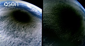
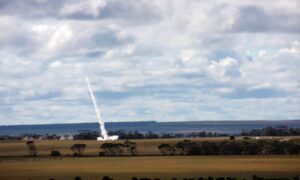
AAC Clyde Space has successfully delivered its cutting-edge 6U satellite, EPICHyper-3, to the Vandenberg Space Force base in California. The satellite is all set for its planned launch in November 2023 and promises to revolutionize Earth observation with its hyperspectral data capabilities. This data will be delivered to Wyvern Inc., a Canadian company, under a Space Data as a Service (SDaaS) contract.
EPICHyper-3 is ready for launch this November
EPICHyper-3 joins its predecessors, EPICHyper-1 and EPICHyper-2, both of which were launched earlier in 2023. Under the SDaaS agreement, AAC Clyde Space retains ownership and operational control of the three satellites, while Wyvern takes charge of the valuable hyperspectral data supplied by EPICHyper-3.
These satellites are integral components of AAC Clyde Space’s EPIC VIEW family of spacecraft, meticulously designed to accommodate state-of-the-art imagers. This design enables them to capture multi-spectral and hyperspectral images of Earth’s surface, opening up a world of possibilities in various sectors.
The wealth of image data collected by EPICHyper-3 will be instrumental in assisting farmers worldwide in optimizing food production, detecting invasive plants, pests, and alterations in soil composition. The hyperspectral information it provides is a game-changer, offering superior resolution and sampling rates, equipping farmers with the knowledge they need for more efficient and resource-conscious agriculture.
AAC Clyde Space CEO, Luis Gomes, expressed his enthusiasm for the Space Data as a Service model, explaining how it caters to the market’s demands and plays a pivotal role in addressing our society’s food production needs. Gomes highlighted the potential of smart farming to enhance yields, improve soil quality, and manage water resources more effectively. He pointed out that a substantial portion of the world’s freshwater resources goes into agriculture, and the data delivered by EPICHyper-3 will enable communities and farmers worldwide to boost production while minimizing the environmental footprint of their activities.
Incorporating satellite imagery in the agriculture sector has numerous applications, and the enhanced hyperspectral data from EPICHyper-3 promises to deliver a higher level of precision and insight. This newfound knowledge stands to significantly enhance agricultural productivity, reduce costs, and promote environmental sustainability—a win-win for both farmers and the planet.


Thank you for your comment! It will be visible on the site after moderation.