Ukrainian “People’s Satellite” Helped To Hit Over 1,000 Targets, Defence Intelligence Reports
1st Jul 2024
On 24 September 2022, Ukraine’s military intelligence began using a “people’s satellite” – the ICEYE spacecraft, purchased with donations from Ukrainians. Since then, the country’s Security and Defence Forces have been receiving the necessary intelligence from space every day. A few days ago, the Defence Intelligence of Ukraine posted a public report on the successful use of space data over the past period on its official website.
The Role of Space Tech in Military Conflicts: Ukrainian Experience
On 26 June, the main military intelligence agency of Ukraine released data on the results of using data obtained from the ICEYE satellite on the battlefield. Over the entire period of use of the “people’s satellite” and access to the ICEYE constellation, experts have captured and processed 4173 satellite images. These files contained images of the location of enemy military facilities both in the temporarily occupied territories of Ukraine and in other places where the military forces and assets of the aggressor country are deployed. In almost two years, many military targets have been identified:
- 370 airfields;
- 238 – air defense and radio reconnaissance positions;
- 153 – oil depots and fuel storage facilities;
- 147 – missile, aircraft weapons, and ammunition depots;
- 17 – naval bases.
In addition, the intelligence service added that the satellite’s lens also shows permanent deployment points of enemy forces, training grounds, military camps, and mobilization deployment centers. Taken together, this allows Ukrainian defenders to track the dynamics of Russia’s movements with its personnel and reveal its military intentions to disrupt them.
About 38% of the entire data set obtained through ICEYE was used to directly prepare fire on the enemy, which means billions of dollars in losses for Russia.
Thanks to Ukraine’s purchase of the satellite, the data transmission process from the moment the image is taken to the moment it is received by military units is reduced to a few hours. In a time of war, the speed of receiving information is a significant advantage.
Defense Crowdfunding
On 22-24 June 2022, as part of the nationwide People’s Bayraktar project, Prytula’s foundation, together with blogger Igor Lachenkov, managed to raise an incredible UAH 600 million (about £11.7 million) in just a few days. These funds were intended to purchase Bayraktar TB-2 drones, which at the time were effective weapons on the battlefield. However, the Turkish company Baykar provided these drones free of charge. The volunteers were thus able to use the funds raised to buy a satellite at the request of the Ministry of Defence of Ukraine.
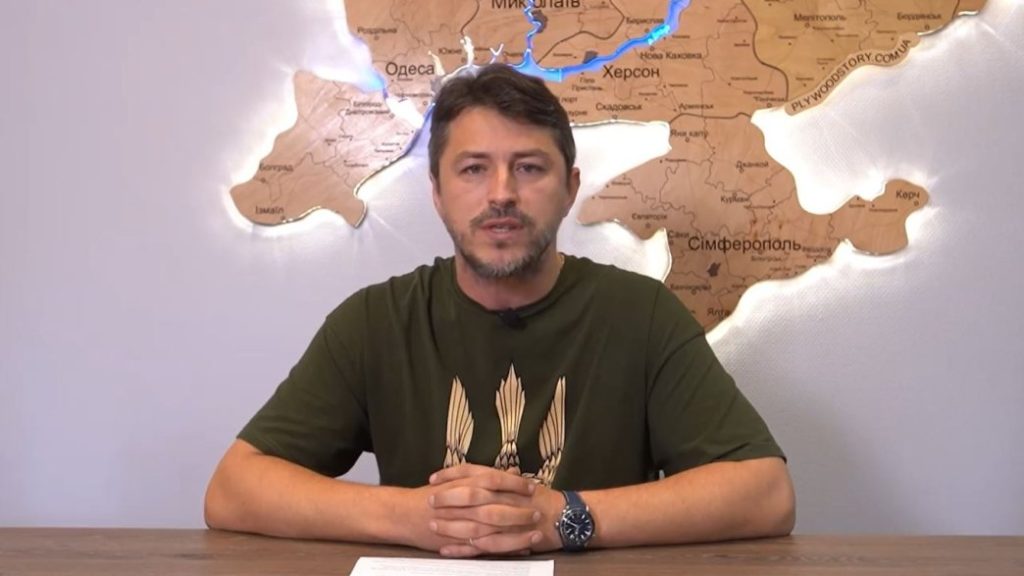
According to Prytula, the agreement with the Finnish company ICEYE stipulates that Ukraine receives both satellites and access to a database of high-quality images of the satellite constellation. Ukrainian space entrepreneur Max Polyakov, founder of Firefly Aerospace, was involved in negotiations due to his expertise in the satellite market.
The New Satellite Technology In Modern Warfare
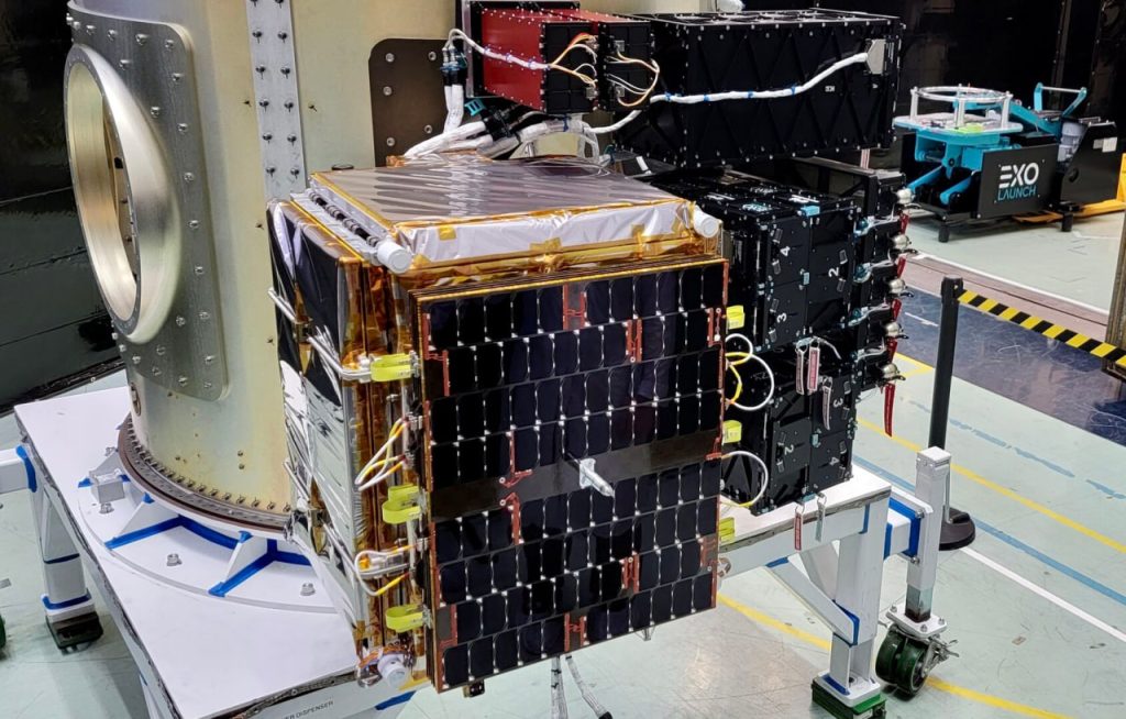
ICEYE owns the world’s largest constellation of SAR satellites and provides reliable and proven solutions in the field of Earth observation. Unlike traditional Earth observation satellites, ICEYE’s small SAR satellites can capture highly accurate images of the Earth in daylight, at night, and through clouds.
Typically, the data is updated every few hours, which allows one to observe the course of hostilities at the tactical level.
The resolution of the satellite is from 0.5 meters to 1 meter, depending on the area covered by the image. This makes it possible to distinguish between microwave images of individuals. One image can cover an area of up to 225 square kilometers.
Why Is The “People’s Satellite” That Useful?
A huge advantage of the ICEYE spacecraft is its ability to see the clusters of even carefully camouflaged enemy mechanized units with their equipment in green plantations.
Such eyes in orbit allow the detection and destruction of camouflaged military equipment, weapons, and personnel around the clock and in any weather.
Reconnaissance from Earth orbit must allow us to receive critical data from the temporarily occupied and other territories of interest to the Armed Forces of Ukraine. This makes it possible to track the dynamics of enemy movements with personnel and reveal military intentions to disrupt them.

![[Updated] SpaceX Falcon 9 Rocket Successfully Launched Astra 1P Mission](https://orbitaltoday.com/wp-content/uploads/2024/06/Astra-1P-satelliteto-launch-300x200.jpg "[Updated] SpaceX Falcon 9 Rocket Successfully Launched Astra 1P Mission")


Thank you for your comment! It will be visible on the site after moderation.