Ecometrica Project: Forests 2020
14th Mar 2021
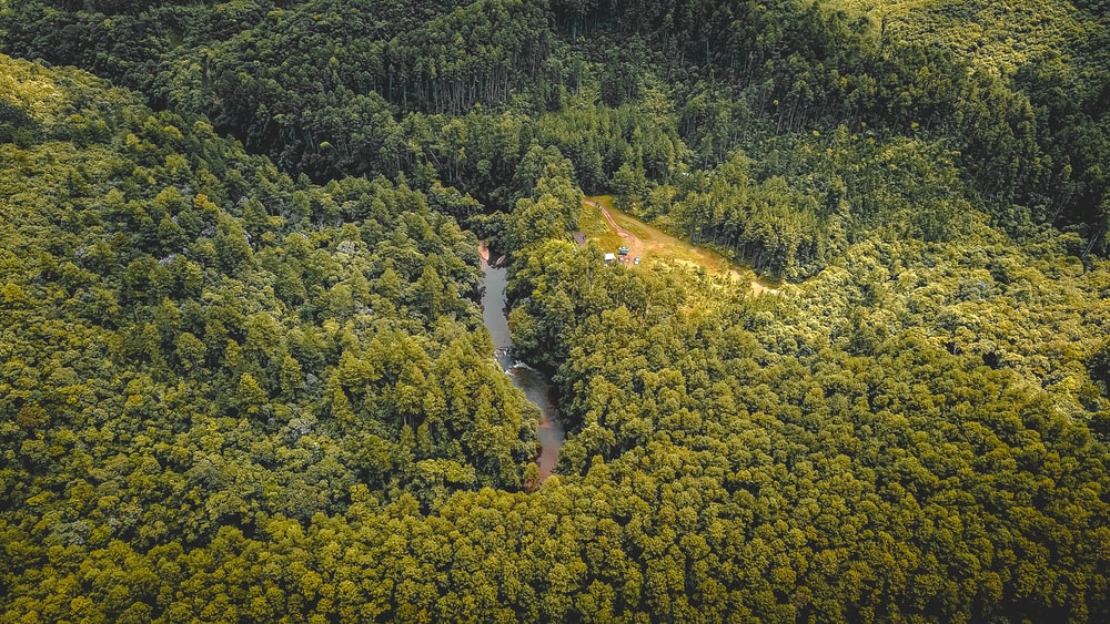
The problem of deforestation is becoming more and more acute for the ecology of the planet, and to improve the situation and protect this valuable resource, the British company Ecometrica initiated the Forests 2020 project. The UK Space Agency supported the initiative under the International Partnership Program. Experts from 8 countries are working on the project today.
Forests 2020 Ecometrica mission
Ecometrica believes that it is important to ensure the Earth either maintains its condition for future generations or improves it. To implement this idea, an environmental monitoring platform was created. Today it is widely used by businesses, government, and society to better manage resources and increase resilience to disasters.
Ecometrica has been active in this area since its foundation in 2008. During this time, the company has repeatedly become a member of the rankings at the Financial Times 1000 (three times), the Deloitte Fast 500 (three times), the FT Future 100, the Sunday Times Hiscox Tech Track 100, and the Inc Magazine 5000. And from 2016 to 2019, it was awarded the “Environmental leader of the year”.
Forests 2020 brings together experts from all over the world
Forests 2020 aims to protect and restore 300 million hectares of rainforest. For this purpose, satellite monitoring of the Earth is carried out in six countries, and the data obtained is processed by the Ecometrica platform and transmitted to specialised organisations.
Forests 2020 brings together leading experts from the UK, Indonesia, Brazil, Colombia, Mexico, Belize, Ghana, and Kenya in the field of nature research and conservation.
In 2017, the project was supported by the UK Space Agency, allocating £14.2 million sterling for its implementation. The money greatly simplified the process, as the company’s turnover at that time barely reached £2.77 million per year. The program is intended for 5 years and involves financing in the amount of £152 million.
Track changes in real-time
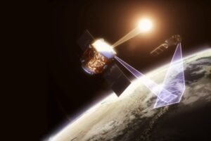
Today, all the necessary data for Ecometrica Forests 2020 comes from the Sentinel 1 and 2 satellites, as well as from the European Copernicus Programme.
Information is processed and analysed in real-time. If any changes are found, a warning is triggered.
In addition, information on the current state of the Earth’s surface is used to identify the most vulnerable areas. By analysing the available data, experts can precisely tell where to direct the efforts to reforestation or prevent destruction.
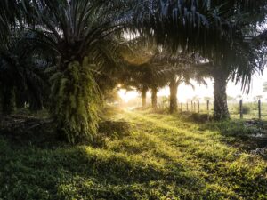
As one of the reasons for deforestation is the production of many agricultural products, Forests 2020 is working with the private sector. On the basis of satellite monitoring data, the rationality and safety of mining in a particular area are determined. For example, in August 2019, Ghana chose Ecometrica technology to track cocoa plantations.
The Ecometrica Forests 2020 project is gradually expanding, covering more territories. It is possible that Forests 2020 will become the main tool for the conservation of rainforests for the foreseeable future.


Thank you for your comment! It will be visible on the site after moderation.