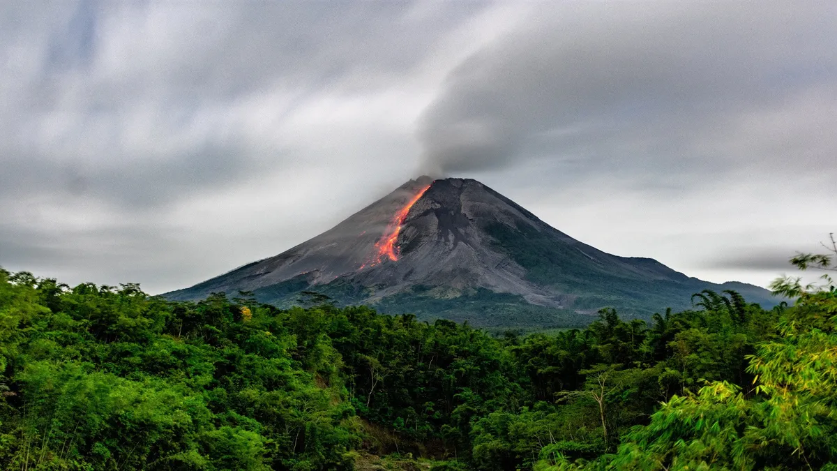
Satellite images could help predict volcanic eruptions by plant behaviour
28th Dec 2023
Researchers propose that employing satellite images to track the well-being of plants may facilitate quicker warnings about volcanic activity in some areas.
A new study about greener plants
According to a recent publication in the journal Geochemistry, Geophysics, Geosystems, studying greener plants’ behaviour could offer an early signal of impending volcanic activity. This could enable more prompt warnings and preparedness. The use of satellite images can help monitor plant health.
The issue is that conventional indicators, like heightened carbon dioxide emissions, frequently precede volcanic unrest. Nevertheless, detecting these emissions proves challenging due to background levels and inaccessibility at many volcanic sites.
In response to this challenge, Robert Bogue and his team at McGill University explored the possibility of using plant health as an indicator or proxy for volcanic activity.
Satellite images investigation
Particularly, the scientists examined satellite images covering three distinct timeframes from 1984 to 2022 in Yellowstone National Park. Notably, Yellowstone is characterized by a sizable and dynamic caldera system, formed during a volcano’s eruption and collapse, and it releases a notable amount of carbon dioxide.
Also, Tern Lake, located in the northeastern part of Yellowstone, has recently garnered attention due to its hydrothermal activity. This activity was identified through satellite imagery revealing changes in soil, the presence of dead trees, and anomalies in infrared temperatures.
As a result, they noticed a connection between plants getting greener, which shows they’re growing more with extra carbon dioxide, and later turning brown when volcanic activity is at its highest. This browning is linked to sulfur dioxide and higher temperatures, which lead to the plants dying.
A new monitor method based on satellite image analisys
These results suggest the possibility of utilizing satellite images to keep track of plant health. This method can serve as a potential early warning system for volcanic activity and provide valuable insights years ahead.
Such an approach can be especially effective for monitoring large, cone-shaped stratovolcanoes located in forested areas, such as Taal volcano in the Philippines or Mount Etna in Italy.
Yet, the researchers cautioned that this method might encounter difficulties in regions with various tree species or substantial stress from non-volcanic factors like droughts or wildfires.
However, although noticeable anomalies are evident, detecting more subtle effects demands extensive data and advanced statistical or machine-learning analysis, they say.


Thank you for your comment! It will be visible on the site after moderation.