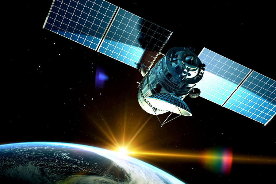
Orbits: A brief guide to Near-Earth Orbits
20th Feb 2020
The Earth, like any other astronomical body, has a gravitational field and has quite a variety of objects in orbit around it. Today, those are usually artificial satellites — both operating ones and those that are out of use. The latter ones are drifting around the Earth as space debris. The International Space Station (ISS) is also orbiting Earth.
What types of Near-Earth orbits are there?
Near-Earth orbits are classified into the following main categories:
- low-earth orbits (from 160 to 2000 km above earth)
- medium-earth orbits (from 2000 to 36000 km)
- high-earth orbits (over 36 thousand km high)
Choosing the right trajectory for a spacecraft depends on its goals. Let’s take a look at the near-earth orbit types and the opportunities they offer.
Low-earth orbits(LEO)
Satellites are regularly sent into low-earth orbit, as it is the easiest one to reach. ISS, telecommunication, research, meteorological, and intelligence spacecraft are located here. The height of each device will determine its rotation speed around Earth. Typically, a rotation cycle is complete in 88-127 minutes.
Besides, a huge amount of space debris has accumulated in the low-earth area. Those are the remains of destroyed or redundant spacecraft no longer in use.
Parking orbit
This is one of the low-earth orbit subtypes. Its main peculiarity is that objects located in the parking path may vary in their height and rotation angle. That is why only engine-equipped devices that can maneuver independently are positioned here. The concept of a “parking orbit” emerged with the start of 4-stage rocket launches. The fourth stage was launched in zero gravity after having rotated approximately 3/4 around the Earth.
Sun-synchronous orbit (SSO)
This area allows objects to pass over any point on the Earth’s surface at the same time. The device trajectory is synchronized with the line terminator, so it can always fly in the sun-lit zone or, alternatively, remain in the dark areas.
Satellites rotating on the sun-synchronous orbit will typically take pictures of the same places in the same season for several years in a row, so as to monitor differences. That is why spacecraft collecting data on climate change rotate in this orbit.
Semi-synchronous type
This type belongs to the medium-earth orbit category. It is located 26.5 thousand km from the center of the Earth. A full spacecraft rotation cycle here takes 12 hours.
Because of the Earth rotation, the satellite passes over the same two points on the equator every day. Its speed is constant and easy to calculate. Because of this predictability GPS satellites operate on the semi-synchronous trajectory.
Geosynchronous
Belongs to the high-earth category. Devices located 36 thousand km from the Earth operate in a zone where spacecraft speed is the same as the Earth rotation speed around its axis. As a result, the devices have fixed longitudes.
The first satellite was launched into a geosynchronous area in 1963. That was an American spacecraft, Syncom-2. Today, Earth remote sensing and telecommunication satellites are being launched into this trajectory.
Geostationary
At the same altitude, but directly above the equator, the spacecraft enters a geostationary path. Planet rotation compensates for the satellite motion, and the satellite stays fixed over a certain place. The point where the spacecraft is located is called the standing point, and only the meridian is used to indicate its position.
Spacecraft in geostationary orbit continuously monitor a specific area. They are used to monitor the weather, take pictures of the planet’s surface, and to transmit satellite television since their fixed position allows viewers to stay connected without changing the direction of their antennas.
NASA launches its GEOS satellites in this area. They help exchange information with search and rescue beacons and detect sea ships and aircraft. Besides, such devices can be equipped with additional tools that take pictures of the Sun and monitor magnetic and radiation activity.
Highly elliptical (HEO)
This type has an elliptical (elongated) shape and is used to launch spacecraft with custom characteristics. This is an alternative to the geostationary area. Since the latter type depends on the equator, it’s hard to monitor the Southern and Northern regions of the planet from the geostationary trajectory. So, spacecraft that are supposed to monitor these areas are launched into a highly elliptical orbit.
Here, the devices move along an elongated ellipse, and one of its edges is located closer to the planets pole. The Earth’s gravity affects the spacecraft’s speed, and they move faster near the poles. The longer the device’s distance from the Earth’s surface, the slower its speed. As a result, spacecraft spend most of their time far from the planet’s surface.
The full rotation cycle of a device on HEO takes 12 hours. However, most of this time, the satellite monitors only one hemisphere. HEOs are mostly suited for spacecraft transmitting and receiving signals at polar and high latitudes. This movement trajectory allows transmitting of signals to any location on the Earth.
Two devices moving on the HEO ensure uninterrupted space communications and have only one drawback — the position of the satellites, relative to the Earth station, keeps changing all the time.
NASA and ESA space observatories, GPS, as well as radio communication, and Meridian satellites are located in the highly elliptical trajectory.


Thank you for your comment! It will be visible on the site after moderation.